Waun Fawr
Introduction
The photograph on this page of Waun Fawr by Ian Capper as part of the Geograph project.
The Geograph project started in 2005 with the aim of publishing, organising and preserving representative images for every square kilometre of Great Britain, Ireland and the Isle of Man.

There are currently over 7.5m images from over 14,400 individuals and you can help contribute to the project by visiting https://www.geograph.org.uk
Waun Fawr
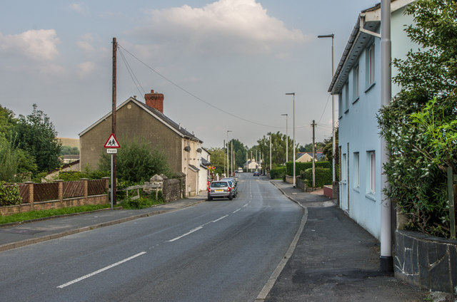
Image: © Ian Capper Taken: 26 Aug 2013
Cottages in Waun Fawr, dating from when the village consisted of a few buildings along this former lane, before the wider development of the area from the 1960s onwards.
Images are licensed for reuse under creativecommons.org/licenses/by-sa/2.0
Image Location
Latitude
52.417352
Longitude
-4.058314