Road to Rushford
Introduction
The photograph on this page of Road to Rushford by Derek Harper as part of the Geograph project.
The Geograph project started in 2005 with the aim of publishing, organising and preserving representative images for every square kilometre of Great Britain, Ireland and the Isle of Man.

There are currently over 7.5m images from over 14,400 individuals and you can help contribute to the project by visiting https://www.geograph.org.uk
Road to Rushford
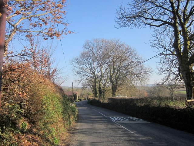
Image: © Derek Harper Taken: 8 Mar 2014
Looking in the opposite direction from the same point as Image], with the former B3362 descending into the hamlet of Rushford. It looks like any country road here, but, being within a built-up area, there's a speed limit of 30mph, studiously ignored by most drivers.
Images are licensed for reuse under creativecommons.org/licenses/by-sa/2.0
Image Location
Latitude
50.568284
Longitude
-4.193755