Benchmark on Gloucester Road
Introduction
The photograph on this page of Benchmark on Gloucester Road by Neil Owen as part of the Geograph project.
The Geograph project started in 2005 with the aim of publishing, organising and preserving representative images for every square kilometre of Great Britain, Ireland and the Isle of Man.

There are currently over 7.5m images from over 14,400 individuals and you can help contribute to the project by visiting https://www.geograph.org.uk
Benchmark on Gloucester Road
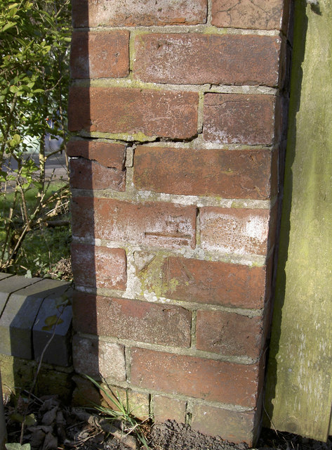
Image: © Neil Owen Taken: 10 Mar 2014
There aren't many marks on this stretch of the road south of Tewkesbury, but this one is opposite the Lincoln Green area - site of the battle. See Image] for a wider view northwestwards and http://www.bench-marks.org.uk/bm55597 for the entry in the Benchmark Database.
Images are licensed for reuse under creativecommons.org/licenses/by-sa/2.0
Image Location
Latitude
51.983831
Longitude
-2.158958