Fork in Lane at Tunstall
Introduction
The photograph on this page of Fork in Lane at Tunstall by stephen betteridge as part of the Geograph project.
The Geograph project started in 2005 with the aim of publishing, organising and preserving representative images for every square kilometre of Great Britain, Ireland and the Isle of Man.

There are currently over 7.5m images from over 14,400 individuals and you can help contribute to the project by visiting https://www.geograph.org.uk
Fork in Lane at Tunstall
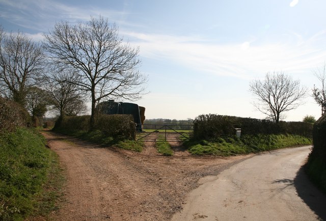
Image: © stephen betteridge Taken: 4 Apr 2007
Tunstall Lane is to the left in the photograph. It is not recommended for cars and appears to be used as a bridle way.
Images are licensed for reuse under creativecommons.org/licenses/by-sa/2.0
Image Location
Latitude
52.842359
Longitude
-2.340831