Former church and church hall, Maidstone Road
Introduction
The photograph on this page of Former church and church hall, Maidstone Road by John Baker as part of the Geograph project.
The Geograph project started in 2005 with the aim of publishing, organising and preserving representative images for every square kilometre of Great Britain, Ireland and the Isle of Man.

There are currently over 7.5m images from over 14,400 individuals and you can help contribute to the project by visiting https://www.geograph.org.uk
Former church and church hall, Maidstone Road
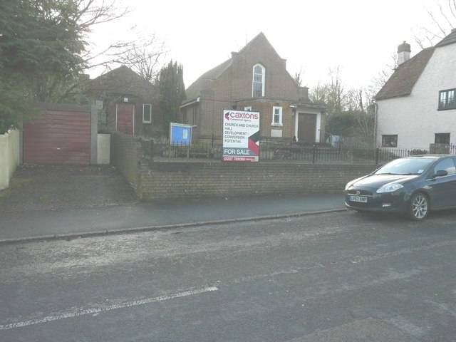
Image: © John Baker Taken: 16 Feb 2014
For sale through Caxtons as a site with development/conversion potential. After both buildings had been demolished, twenty four dwellings were erected on the site and the development was called Image
Images are licensed for reuse under creativecommons.org/licenses/by-sa/2.0
Image Location
Latitude
51.237256
Longitude
0.716232