Carew Road, Wallington
Introduction
The photograph on this page of Carew Road, Wallington by Clint Mann as part of the Geograph project.
The Geograph project started in 2005 with the aim of publishing, organising and preserving representative images for every square kilometre of Great Britain, Ireland and the Isle of Man.

There are currently over 7.5m images from over 14,400 individuals and you can help contribute to the project by visiting https://www.geograph.org.uk
Carew Road, Wallington
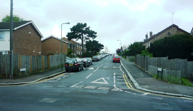
Image: © Clint Mann Taken: 25 Apr 2010
Junction of Carew Road and Demesne Road, looking westwards. Image depicts speed ramps and recent housing (only one building from early 20th century remains in Carew Road; most were demolished by 1967).
Images are licensed for reuse under creativecommons.org/licenses/by-sa/2.0
Image Location
Latitude
51.36048
Longitude
-0.140386