The Southwell Trail crosses Broomfield Lane
Introduction
The photograph on this page of The Southwell Trail crosses Broomfield Lane by Oliver Dixon as part of the Geograph project.
The Geograph project started in 2005 with the aim of publishing, organising and preserving representative images for every square kilometre of Great Britain, Ireland and the Isle of Man.

There are currently over 7.5m images from over 14,400 individuals and you can help contribute to the project by visiting https://www.geograph.org.uk
The Southwell Trail crosses Broomfield Lane
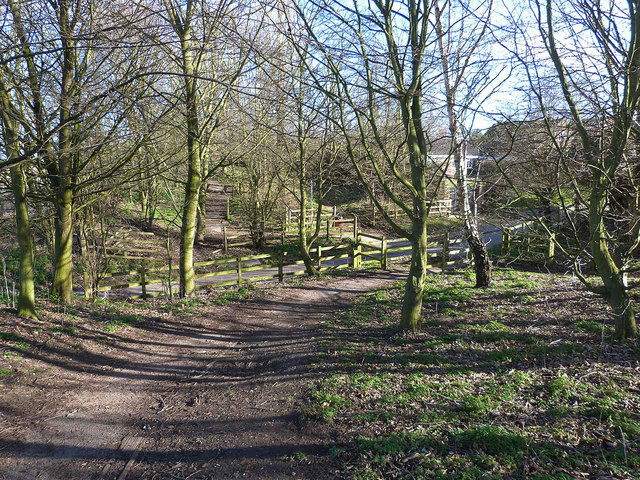
Image: © Oliver Dixon Taken: 7 Mar 2014
The Mansfield, Southwell and Rolleston Junction Railway, built in 1847, closed to passengers in 1959 and wholly in 1964 has been converted into a trail for walkers, cyclists and horseriders known as the Southwell Trail, which runs through to Southwell. As is commonly the case, the bridge over Broomfield Lane in Farnsfield has been demolished, resulting in a dip in the trail to cross the Lane at grade.
Images are licensed for reuse under creativecommons.org/licenses/by-sa/2.0
Image Location
Latitude
53.107346
Longitude
-1.033642