Glen Path, Sunderland
Introduction
The photograph on this page of Glen Path, Sunderland by Malc McDonald as part of the Geograph project.
The Geograph project started in 2005 with the aim of publishing, organising and preserving representative images for every square kilometre of Great Britain, Ireland and the Isle of Man.

There are currently over 7.5m images from over 14,400 individuals and you can help contribute to the project by visiting https://www.geograph.org.uk
Glen Path, Sunderland
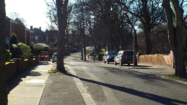
Image: © Malc McDonald Taken: 7 Mar 2014
Glen Path is a residential road in Sunderland. The road runs along the edge of Backhouse Park.
Images are licensed for reuse under creativecommons.org/licenses/by-sa/2.0
Image Location
Latitude
54.892039
Longitude
-1.38243