Chapel - St Anne's Close
Introduction
The photograph on this page of Chapel - St Anne's Close by Chris Allen as part of the Geograph project.
The Geograph project started in 2005 with the aim of publishing, organising and preserving representative images for every square kilometre of Great Britain, Ireland and the Isle of Man.

There are currently over 7.5m images from over 14,400 individuals and you can help contribute to the project by visiting https://www.geograph.org.uk
Chapel - St Anne's Close
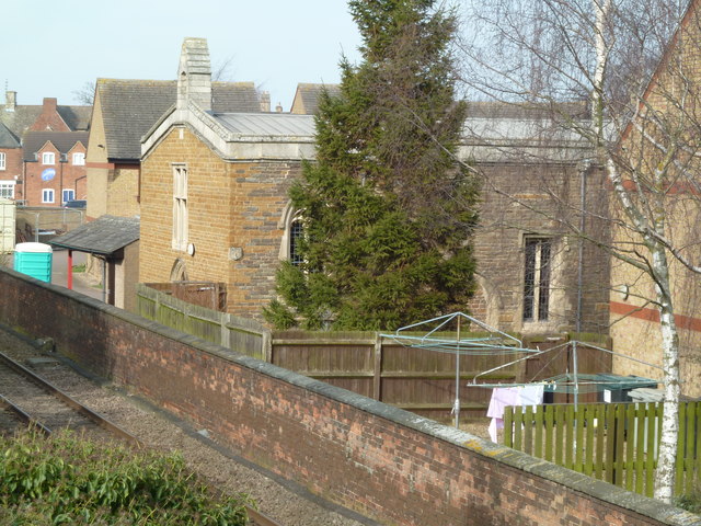
Image: © Chris Allen Taken: 8 Mar 2014
This little chapel is in a housing complex and I couldn't see a way to on the ground, although the aerial view suggests a way round from the north. This is photographed from a footbridge over the railway line.
Images are licensed for reuse under creativecommons.org/licenses/by-sa/2.0
Image Location
Latitude
52.669332
Longitude
-0.733811