Flood at Pednor Road junction with Drydell Lane
Introduction
The photograph on this page of Flood at Pednor Road junction with Drydell Lane by Rob Farrow as part of the Geograph project.
The Geograph project started in 2005 with the aim of publishing, organising and preserving representative images for every square kilometre of Great Britain, Ireland and the Isle of Man.

There are currently over 7.5m images from over 14,400 individuals and you can help contribute to the project by visiting https://www.geograph.org.uk
Flood at Pednor Road junction with Drydell Lane
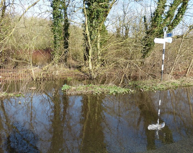
Image: © Rob Farrow Taken: 8 Mar 2014
If you look very closely you may be able to make out a pair of mallards - a duck and a drake. They had been swimming across the road a few moments earlier but unfortunately they'd made it to the drain on the far side of the road by the time I'd got my camera out. The flood was not particularly deep - maybe a foot at most.
Images are licensed for reuse under creativecommons.org/licenses/by-sa/2.0
Image Location
Latitude
51.704245
Longitude
-0.622