Matching electricity substation and houses in Burton
Introduction
The photograph on this page of Matching electricity substation and houses in Burton by Jaggery as part of the Geograph project.
The Geograph project started in 2005 with the aim of publishing, organising and preserving representative images for every square kilometre of Great Britain, Ireland and the Isle of Man.

There are currently over 7.5m images from over 14,400 individuals and you can help contribute to the project by visiting https://www.geograph.org.uk
Matching electricity substation and houses in Burton
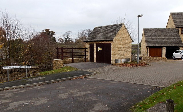
Image: © Jaggery Taken: 24 Nov 2013
On the left, the substation in Burton Farm Close is made from the same materials as, and is in a similar style to, adjacent houses.
Images are licensed for reuse under creativecommons.org/licenses/by-sa/2.0
Image Location
Latitude
51.513945
Longitude
-2.264818