Lane junction, Lamerton
Introduction
The photograph on this page of Lane junction, Lamerton by Derek Harper as part of the Geograph project.
The Geograph project started in 2005 with the aim of publishing, organising and preserving representative images for every square kilometre of Great Britain, Ireland and the Isle of Man.

There are currently over 7.5m images from over 14,400 individuals and you can help contribute to the project by visiting https://www.geograph.org.uk
Lane junction, Lamerton
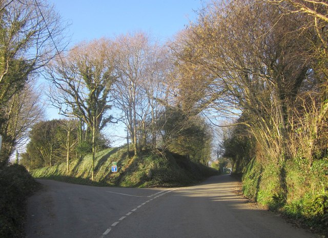
Image: © Derek Harper Taken: 8 Mar 2014
Also shown in Image The left fork is a no through road, signed "Great Haye only" although a footpath leads onwards from it. Within the angle of the two lanes is Lamerton Cemetery.
Images are licensed for reuse under creativecommons.org/licenses/by-sa/2.0
Image Location


Leaflet Map data © OpenStreetMap
Latitude
50.573107
Longitude
-4.190731