Westbury Cadet Centre
Introduction
The photograph on this page of Westbury Cadet Centre by Jaggery as part of the Geograph project.
The Geograph project started in 2005 with the aim of publishing, organising and preserving representative images for every square kilometre of Great Britain, Ireland and the Isle of Man.

There are currently over 7.5m images from over 14,400 individuals and you can help contribute to the project by visiting https://www.geograph.org.uk
Westbury Cadet Centre
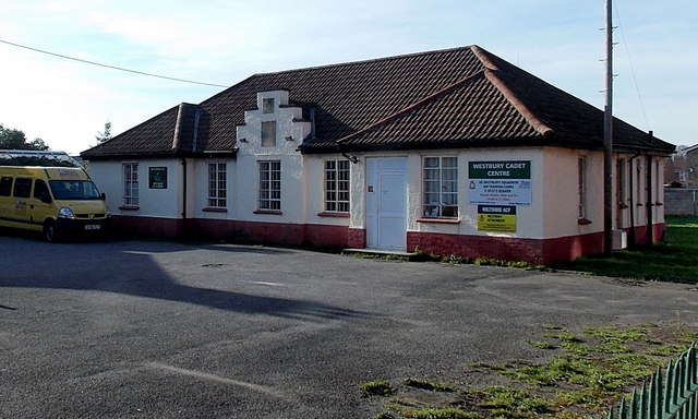
Image: © Jaggery Taken: 8 Mar 2014
Viewed from the A350 West End. The names on the building are 68 (Westbury) Squadron Air Training Corps and Wiltshire ACF Westbury Detachment. ACF = Army Cadet Force.
Images are licensed for reuse under creativecommons.org/licenses/by-sa/2.0
Image Location
Latitude
51.262061
Longitude
-2.185545