The Old Royal Oak, Royal Oak Lane, Pirton
Introduction
The photograph on this page of The Old Royal Oak, Royal Oak Lane, Pirton by Humphrey Bolton as part of the Geograph project.
The Geograph project started in 2005 with the aim of publishing, organising and preserving representative images for every square kilometre of Great Britain, Ireland and the Isle of Man.

There are currently over 7.5m images from over 14,400 individuals and you can help contribute to the project by visiting https://www.geograph.org.uk
The Old Royal Oak, Royal Oak Lane, Pirton
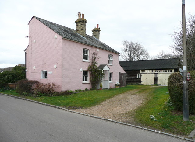
Image: © Humphrey Bolton Taken: 4 Mar 2014
This must be a very old Royal Oak, as it is not shown as an inn on the 19C OS map, on which the road is captioned Deadhorse Lane. This was later changed to Holwell Road, and is now Royal Oak Lane.
Images are licensed for reuse under creativecommons.org/licenses/by-sa/2.0
Image Location
Latitude
51.972881
Longitude
-0.32799