More extensive flooding beside the Gate House
Introduction
The photograph on this page of More extensive flooding beside the Gate House by John Baker as part of the Geograph project.
The Geograph project started in 2005 with the aim of publishing, organising and preserving representative images for every square kilometre of Great Britain, Ireland and the Isle of Man.

There are currently over 7.5m images from over 14,400 individuals and you can help contribute to the project by visiting https://www.geograph.org.uk
More extensive flooding beside the Gate House
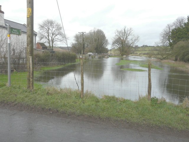
Image: © John Baker Taken: 10 Feb 2014
In the course of a few weeks since I took Image, the flooding by the Nail Bourne has become more extensive. The Gate House was a former crossing keeper’s dwelling on the Elham Valley Railway.
Images are licensed for reuse under creativecommons.org/licenses/by-sa/2.0
Image Location
Latitude
51.159895
Longitude
1.120204