Junction, Patchway
Introduction
The photograph on this page of Junction, Patchway by Derek Harper as part of the Geograph project.
The Geograph project started in 2005 with the aim of publishing, organising and preserving representative images for every square kilometre of Great Britain, Ireland and the Isle of Man.

There are currently over 7.5m images from over 14,400 individuals and you can help contribute to the project by visiting https://www.geograph.org.uk
Junction, Patchway
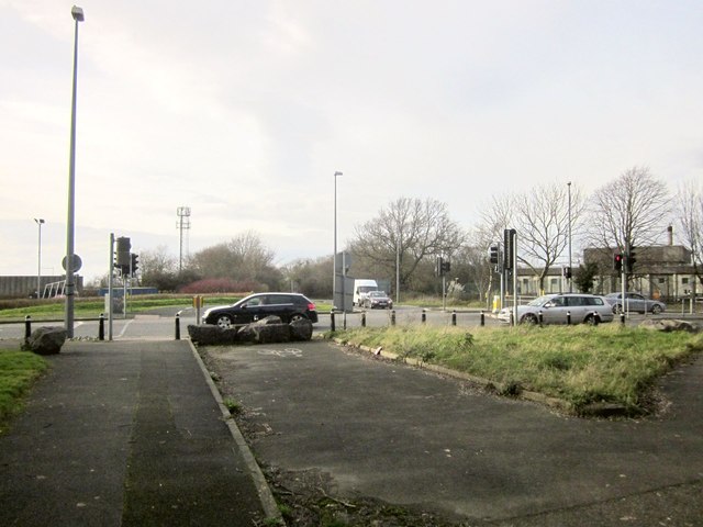
Image: © Derek Harper Taken: 22 Feb 2014
Looking in the opposite direction from Image], with Highwood Lane continuing as a main road ahead. On the right is the entrance to Patchway Trading Estate; on the left is Jupiter Road, which has usurped the through route function from the path I am standing on.
Images are licensed for reuse under creativecommons.org/licenses/by-sa/2.0
Image Location
Latitude
51.527947
Longitude
-2.591689