Blinkbonny
Introduction
The photograph on this page of Blinkbonny by Richard Webb as part of the Geograph project.
The Geograph project started in 2005 with the aim of publishing, organising and preserving representative images for every square kilometre of Great Britain, Ireland and the Isle of Man.

There are currently over 7.5m images from over 14,400 individuals and you can help contribute to the project by visiting https://www.geograph.org.uk
Blinkbonny
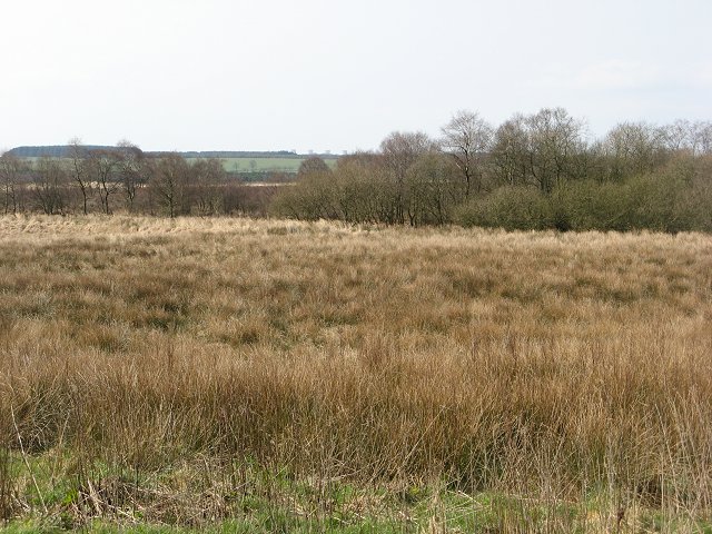
Image: © Richard Webb Taken: 31 Mar 2007
Wet rough grazing descending gently to an area of peat bog. There are several bogs in this area, some, like Branteth Flow, have become wooded.
Images are licensed for reuse under creativecommons.org/licenses/by-sa/2.0
Image Location


Leaflet Map data © OpenStreetMap
Latitude
55.058416
Longitude
-3.106487