Highwood Lane
Introduction
The photograph on this page of Highwood Lane by Derek Harper as part of the Geograph project.
The Geograph project started in 2005 with the aim of publishing, organising and preserving representative images for every square kilometre of Great Britain, Ireland and the Isle of Man.

There are currently over 7.5m images from over 14,400 individuals and you can help contribute to the project by visiting https://www.geograph.org.uk
Highwood Lane
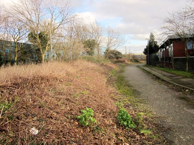
Image: © Derek Harper Taken: 22 Feb 2014
This section of Highwood Lane is closed to traffic. It follows a parish boundary and continues, for pedestrians and cyclists, the line of an old lane to the stone monolith roundabout. On the right are Highwood Pavilions, formerly government offices.
Images are licensed for reuse under creativecommons.org/licenses/by-sa/2.0
Image Location
Latitude
51.527591
Longitude
-2.590819