Back Lane, Blunsdon
Introduction
The photograph on this page of Back Lane, Blunsdon by Brian Robert Marshall as part of the Geograph project.
The Geograph project started in 2005 with the aim of publishing, organising and preserving representative images for every square kilometre of Great Britain, Ireland and the Isle of Man.

There are currently over 7.5m images from over 14,400 individuals and you can help contribute to the project by visiting https://www.geograph.org.uk
Back Lane, Blunsdon
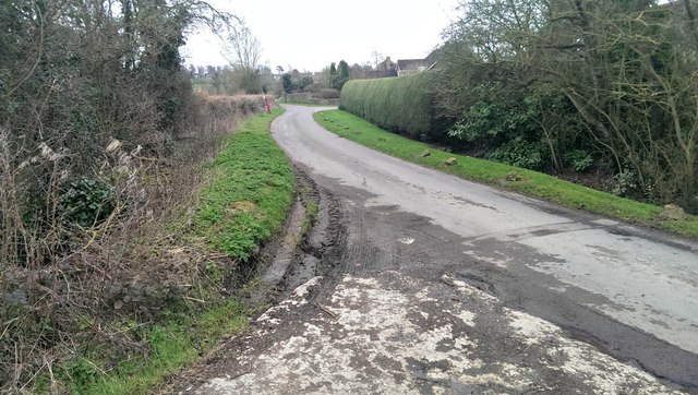
Image: © Brian Robert Marshall Taken: 6 Mar 2014
Back Lane marks almost the most northerly residential part of the sprawling village of Blunsdon.
Images are licensed for reuse under creativecommons.org/licenses/by-sa/2.0
Image Location
Latitude
51.620514
Longitude
-1.789499