Path, Patchway Trading Estate
Introduction
The photograph on this page of Path, Patchway Trading Estate by Derek Harper as part of the Geograph project.
The Geograph project started in 2005 with the aim of publishing, organising and preserving representative images for every square kilometre of Great Britain, Ireland and the Isle of Man.

There are currently over 7.5m images from over 14,400 individuals and you can help contribute to the project by visiting https://www.geograph.org.uk
Path, Patchway Trading Estate
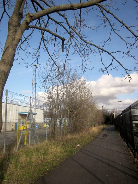
Image: © Derek Harper Taken: 22 Feb 2014
Leading from Britannia Road to Coniston Road. The path is used by local cycling route 4. On the left was a Boots distribution centre, but I see from another image I took that it is to let - however it's still anxious to keep you out.
Images are licensed for reuse under creativecommons.org/licenses/by-sa/2.0
Image Location
Latitude
51.530827
Longitude
-2.591005