Community Forest Path near Patchway
Introduction
The photograph on this page of Community Forest Path near Patchway by Derek Harper as part of the Geograph project.
The Geograph project started in 2005 with the aim of publishing, organising and preserving representative images for every square kilometre of Great Britain, Ireland and the Isle of Man.

There are currently over 7.5m images from over 14,400 individuals and you can help contribute to the project by visiting https://www.geograph.org.uk
Community Forest Path near Patchway
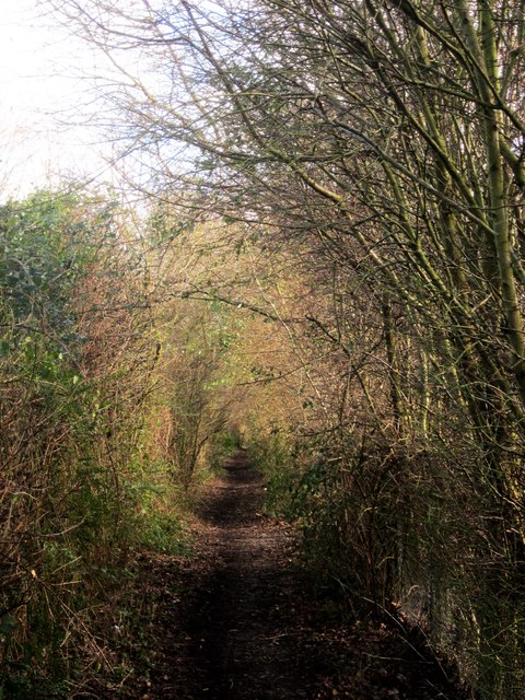
Image: © Derek Harper Taken: 22 Feb 2014
Just east of The Tumps, but still above the railway tunnels.
Images are licensed for reuse under creativecommons.org/licenses/by-sa/2.0
Image Location
Latitude
51.540311
Longitude
-2.582477