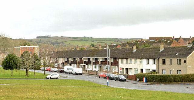
Green space, Ballybeen, Dundonald
Introduction
The photograph on this page of Green space, Ballybeen, Dundonald by Albert Bridge as part of the Geograph project.
The Geograph project started in 2005 with the aim of publishing, organising and preserving representative images for every square kilometre of Great Britain, Ireland and the Isle of Man.
There are currently over 7.5m images from over 14,400 individuals and you can help contribute to the project by visiting https://www.geograph.org.uk

Image: © Albert Bridge Taken: 6 Mar 2014
There was a UK-wide (and possibly even throughout northern Europe) utopian idea, back in the 1960’s, that large greenfield housing estates should feature extensive areas of unused green space, both for their own sake and because they fulfilled an ideal of design and planning. The idea never really caught on with the residents and quietly dropped out of sight. Today’s drive is to rebuild the inner city at a lower density http://www.geograph.org.uk/snippet/5917. This green space is at Davarr Avenue, Ballybeen.

