Alice Street
Introduction
The photograph on this page of Alice Street by Simon Carey as part of the Geograph project.
The Geograph project started in 2005 with the aim of publishing, organising and preserving representative images for every square kilometre of Great Britain, Ireland and the Isle of Man.

There are currently over 7.5m images from over 14,400 individuals and you can help contribute to the project by visiting https://www.geograph.org.uk
Alice Street
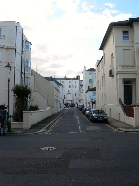
Image: © Simon Carey Taken: 1 Mar 2014
A minor side street linking Holland Road to Lansdowne Place. The houses at the far end of the street are the rear of the properties that face out onto Adelaide Crescent.
Images are licensed for reuse under creativecommons.org/licenses/by-sa/2.0
Image Location
Latitude
50.824388
Longitude
-0.162194