Fields below Pontop Pike
Introduction
The photograph on this page of Fields below Pontop Pike by Oliver Dixon as part of the Geograph project.
The Geograph project started in 2005 with the aim of publishing, organising and preserving representative images for every square kilometre of Great Britain, Ireland and the Isle of Man.

There are currently over 7.5m images from over 14,400 individuals and you can help contribute to the project by visiting https://www.geograph.org.uk
Fields below Pontop Pike
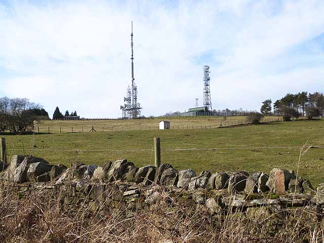
Image: © Oliver Dixon Taken: 28 Feb 2014
Pontop Pike transmission station Image currently transmits digital television, BBC FM radio and Radio Newcastle over a large part of the North-East. The tallest mast is 149 metres high.
Images are licensed for reuse under creativecommons.org/licenses/by-sa/2.0
Image Location
Latitude
54.86984
Longitude
-1.767176