The Horseshoe Bend, Belfast - March 2014(4)
Introduction
The photograph on this page of The Horseshoe Bend, Belfast - March 2014(4) by Albert Bridge as part of the Geograph project.
The Geograph project started in 2005 with the aim of publishing, organising and preserving representative images for every square kilometre of Great Britain, Ireland and the Isle of Man.

There are currently over 7.5m images from over 14,400 individuals and you can help contribute to the project by visiting https://www.geograph.org.uk
The Horseshoe Bend, Belfast - March 2014(4)
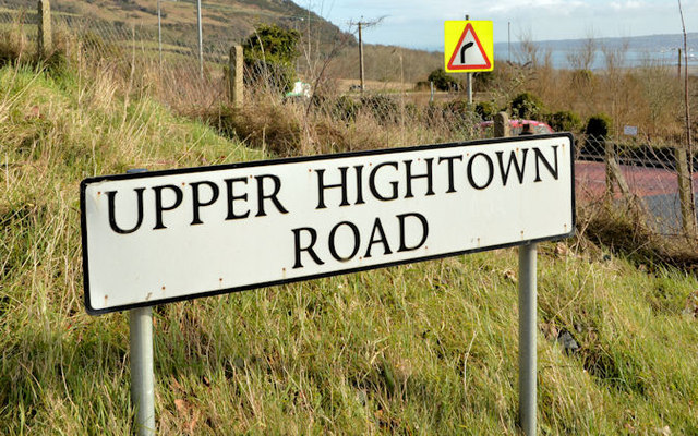
Image: © Albert Bridge Taken: 4 Mar 2014
In the inward/downhill direction the bend (just about visible at middle right) starts opposite the Upper Hightown Road Image A “bend to the right” sign can be seen above the road-name sign.
Images are licensed for reuse under creativecommons.org/licenses/by-sa/2.0
Image Location
Latitude
54.635026
Longitude
-5.970597