Isla floodplain
Introduction
The photograph on this page of Isla floodplain by Richard Webb as part of the Geograph project.
The Geograph project started in 2005 with the aim of publishing, organising and preserving representative images for every square kilometre of Great Britain, Ireland and the Isle of Man.

There are currently over 7.5m images from over 14,400 individuals and you can help contribute to the project by visiting https://www.geograph.org.uk
Isla floodplain
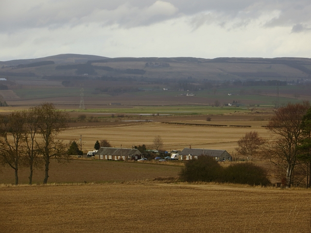
Image: © Richard Webb Taken: 22 Feb 2014
A view from the high ground taken by the A94 over the flat lands beside the River Isla at Balbrogie.
Images are licensed for reuse under creativecommons.org/licenses/by-sa/2.0
Image Location


Leaflet Map data © OpenStreetMap
Latitude
56.567411
Longitude
-3.234948