Culvert taking Nant Mair beneath minor road
Introduction
The photograph on this page of Culvert taking Nant Mair beneath minor road by Jonathan Glew as part of the Geograph project.
The Geograph project started in 2005 with the aim of publishing, organising and preserving representative images for every square kilometre of Great Britain, Ireland and the Isle of Man.

There are currently over 7.5m images from over 14,400 individuals and you can help contribute to the project by visiting https://www.geograph.org.uk
Culvert taking Nant Mair beneath minor road
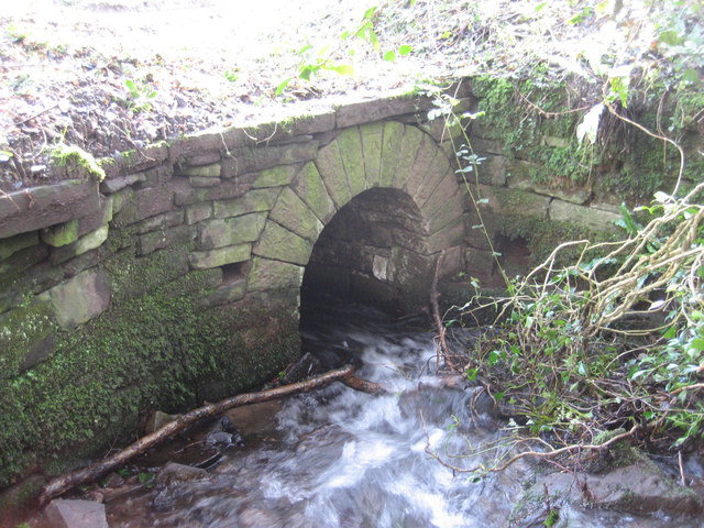
Image: © Jonathan Glew Taken: 1 Mar 2014
The culvert is at SW side of the road. The keystone displays an Ordnance Survey cut benchmark.
Images are licensed for reuse under creativecommons.org/licenses/by-sa/2.0
Image Location
Latitude
51.89533
Longitude
-3.051214