Totton, Batts Corner
Introduction
The photograph on this page of Totton, Batts Corner by Mike Faherty as part of the Geograph project.
The Geograph project started in 2005 with the aim of publishing, organising and preserving representative images for every square kilometre of Great Britain, Ireland and the Isle of Man.

There are currently over 7.5m images from over 14,400 individuals and you can help contribute to the project by visiting https://www.geograph.org.uk
Totton, Batts Corner
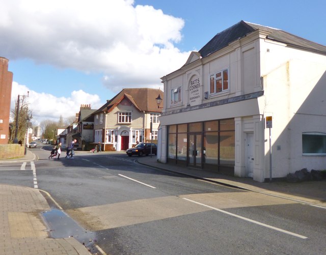
Image: © Mike Faherty Taken: 1 Mar 2014
Junction of Junction Road, High Street, Rumbridge Street and Eling Lane. The building in the foreground bears a painted mile marker "London 77 Miles Bournemouth 24 Miles".
Images are licensed for reuse under creativecommons.org/licenses/by-sa/2.0
Image Location
Latitude
50.916048
Longitude
-1.48514