Lowdham, Notts.
Introduction
The photograph on this page of Lowdham, Notts. by David Hallam-Jones as part of the Geograph project.
The Geograph project started in 2005 with the aim of publishing, organising and preserving representative images for every square kilometre of Great Britain, Ireland and the Isle of Man.

There are currently over 7.5m images from over 14,400 individuals and you can help contribute to the project by visiting https://www.geograph.org.uk
Lowdham, Notts.
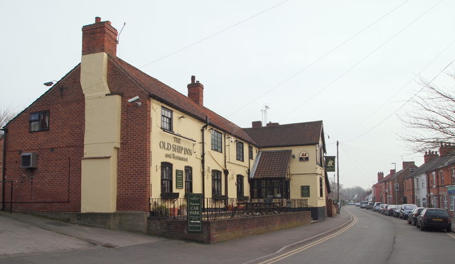
Image: © David Hallam-Jones Taken: 28 Feb 2014
The Old Ship Inn and Main Street that continues onwards towards the main Nottingham-Southwell road (i.e. the A612), approximately 5 minutes away.
Images are licensed for reuse under creativecommons.org/licenses/by-sa/2.0
Image Location
Latitude
53.011638
Longitude
-1.004481