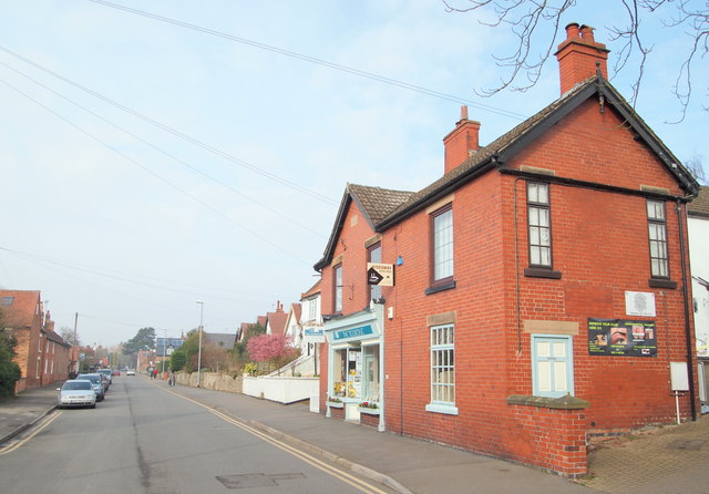
Lowdham, Notts.
Introduction
The photograph on this page of Lowdham, Notts. by David Hallam-Jones as part of the Geograph project.
The Geograph project started in 2005 with the aim of publishing, organising and preserving representative images for every square kilometre of Great Britain, Ireland and the Isle of Man.
There are currently over 7.5m images from over 14,400 individuals and you can help contribute to the project by visiting https://www.geograph.org.uk

Image: © David Hallam-Jones Taken: 28 Feb 2014
A thriving independent bookshop has occupied the ground floor of this red-brick building on Main Street for a number of years. The property's earlier career included being two houses and its history has also included hosting a bakery & baker's shop and a butcher's shop & premises, at different times. The upper floor currently houses a tea shop. After a mile or so the road ahead 'becomes' Epperstone Road and the latter links to the Epperstone By-Pass (i.e. the A6097), a dual carriageway that was constructed just prior to the Second World War.

