Looking north-northwest up Laureston Place
Introduction
The photograph on this page of Looking north-northwest up Laureston Place by John Baker as part of the Geograph project.
The Geograph project started in 2005 with the aim of publishing, organising and preserving representative images for every square kilometre of Great Britain, Ireland and the Isle of Man.

There are currently over 7.5m images from over 14,400 individuals and you can help contribute to the project by visiting https://www.geograph.org.uk
Looking north-northwest up Laureston Place
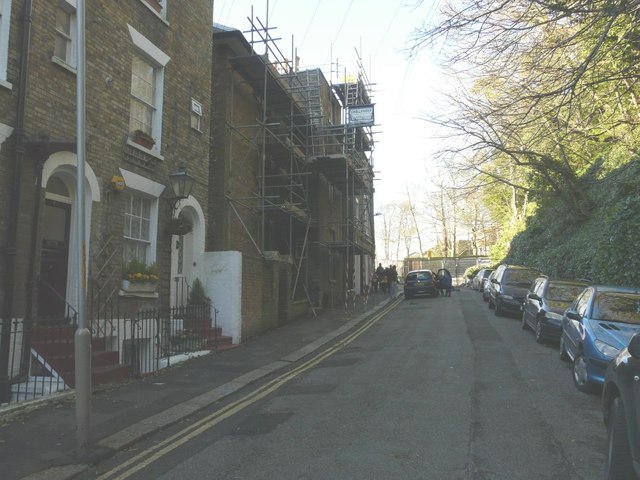
Image: © John Baker Taken: 7 Feb 2014
In the early hours of 30 January 2014, a brick wall, at the end of the parked cars and near to St Mary’s Church of England Primary School collapsed due to weeks of torrential rain making the ground above unstable. Two cars, parked underneath, were damaged by its collapse and the road was closed to vehicular traffic, although access was permitted for pedestrians. The house clad in scaffolding to roof level is number 10.
Images are licensed for reuse under creativecommons.org/licenses/by-sa/2.0
Image Location
Latitude
51.127563
Longitude
1.317578