St Stephens Hill
Introduction
The photograph on this page of St Stephens Hill by jeff collins as part of the Geograph project.
The Geograph project started in 2005 with the aim of publishing, organising and preserving representative images for every square kilometre of Great Britain, Ireland and the Isle of Man.

There are currently over 7.5m images from over 14,400 individuals and you can help contribute to the project by visiting https://www.geograph.org.uk
St Stephens Hill
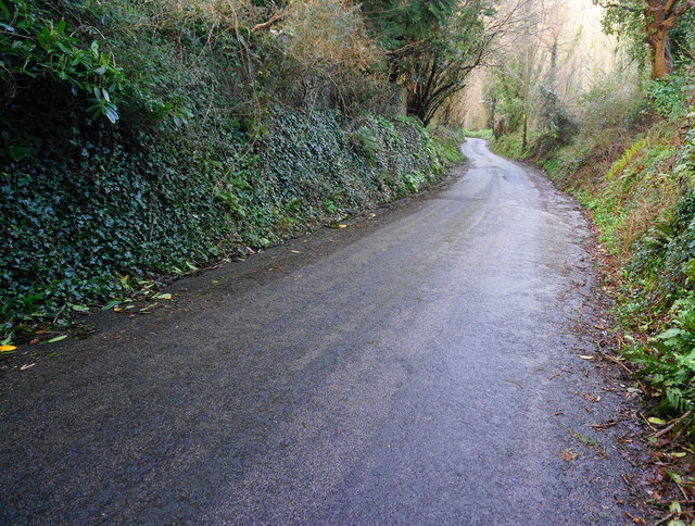
Image: © jeff collins Taken: 27 Feb 2014
On the outskirts of Saltash. At the bottom of this steep hill is the small village of Forder.
Images are licensed for reuse under creativecommons.org/licenses/by-sa/2.0
Image Location


Leaflet Map data © OpenStreetMap
Latitude
50.403375
Longitude
-4.233837