View towards the Chantries
Introduction
The photograph on this page of View towards the Chantries by Alan Hunt as part of the Geograph project.
The Geograph project started in 2005 with the aim of publishing, organising and preserving representative images for every square kilometre of Great Britain, Ireland and the Isle of Man.

There are currently over 7.5m images from over 14,400 individuals and you can help contribute to the project by visiting https://www.geograph.org.uk
View towards the Chantries
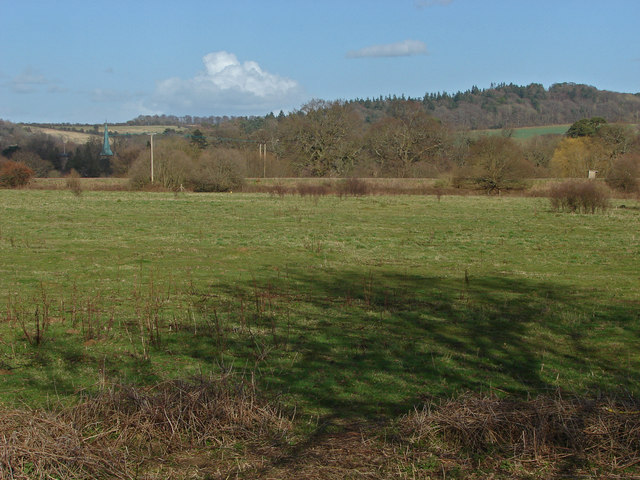
Image: © Alan Hunt Taken: 26 Feb 2014
Looking northeast from the footpath between Artington and the river Wey with the spire of St Mary's on the left and the woods on top of Chantries in the background. The bank at the far end of the field marks the course of the Guildford to Dorking railway line.
Images are licensed for reuse under creativecommons.org/licenses/by-sa/2.0
Image Location
Latitude
51.215633
Longitude
-0.578504