Hady Lane, Hady
Introduction
The photograph on this page of Hady Lane, Hady by Chris Morgan as part of the Geograph project.
The Geograph project started in 2005 with the aim of publishing, organising and preserving representative images for every square kilometre of Great Britain, Ireland and the Isle of Man.

There are currently over 7.5m images from over 14,400 individuals and you can help contribute to the project by visiting https://www.geograph.org.uk
Hady Lane, Hady
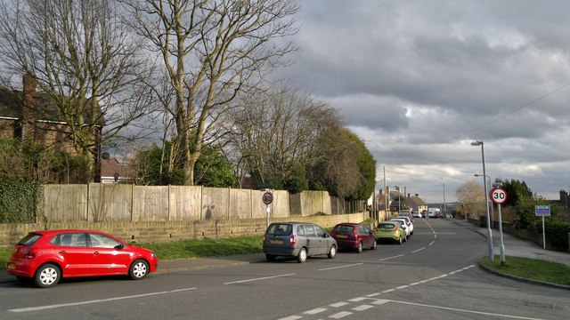
Image: © Chris Morgan Taken: 24 Feb 2014
Near to Chesterfield Royal Hospital, which may explain why there are so many cars parked without payment on the nearby roads.
Images are licensed for reuse under creativecommons.org/licenses/by-sa/2.0
Image Location
Latitude
53.233734
Longitude
-1.403996