Looking south down Stanhope Road
Introduction
The photograph on this page of Looking south down Stanhope Road by John Baker as part of the Geograph project.
The Geograph project started in 2005 with the aim of publishing, organising and preserving representative images for every square kilometre of Great Britain, Ireland and the Isle of Man.

There are currently over 7.5m images from over 14,400 individuals and you can help contribute to the project by visiting https://www.geograph.org.uk
Looking south down Stanhope Road
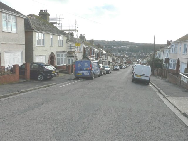
Image: © John Baker Taken: 7 Feb 2014
On the left, number 68 has had scaffolding erected to chimney height.
Images are licensed for reuse under creativecommons.org/licenses/by-sa/2.0
Image Location
Latitude
51.136244
Longitude
1.306476