The east end of Butt Lane
Introduction
The photograph on this page of The east end of Butt Lane by Humphrey Bolton as part of the Geograph project.
The Geograph project started in 2005 with the aim of publishing, organising and preserving representative images for every square kilometre of Great Britain, Ireland and the Isle of Man.

There are currently over 7.5m images from over 14,400 individuals and you can help contribute to the project by visiting https://www.geograph.org.uk
The east end of Butt Lane
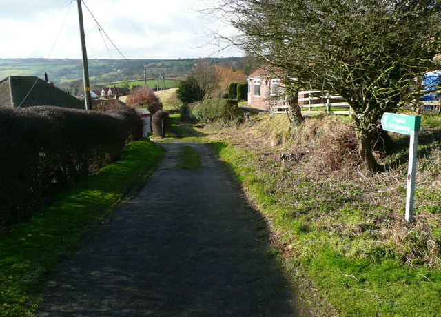
Image: © Humphrey Bolton Taken: 4 Feb 2014
This is a public bridleway off the B1447.
Images are licensed for reuse under creativecommons.org/licenses/by-sa/2.0
Image Location
Latitude
54.439131
Longitude
-0.546625