Former Drill Hall - High Street
Introduction
The photograph on this page of Former Drill Hall - High Street by John M as part of the Geograph project.
The Geograph project started in 2005 with the aim of publishing, organising and preserving representative images for every square kilometre of Great Britain, Ireland and the Isle of Man.

There are currently over 7.5m images from over 14,400 individuals and you can help contribute to the project by visiting https://www.geograph.org.uk
Former Drill Hall - High Street
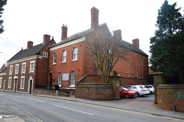
Image: © John M Taken: 26 Feb 2014
18th Century house with passageway through to hall at rear. Now used by council department. In 1914 drill station for the Staffordshire Yeomanry and base for North Staffordshire Regiment.
Images are licensed for reuse under creativecommons.org/licenses/by-sa/2.0
Image Location
Latitude
52.900755
Longitude
-1.86631