Balmer Green/Crooked Croft
Introduction
The photograph on this page of Balmer Green/Crooked Croft by Simon Carey as part of the Geograph project.
The Geograph project started in 2005 with the aim of publishing, organising and preserving representative images for every square kilometre of Great Britain, Ireland and the Isle of Man.

There are currently over 7.5m images from over 14,400 individuals and you can help contribute to the project by visiting https://www.geograph.org.uk
Balmer Green/Crooked Croft
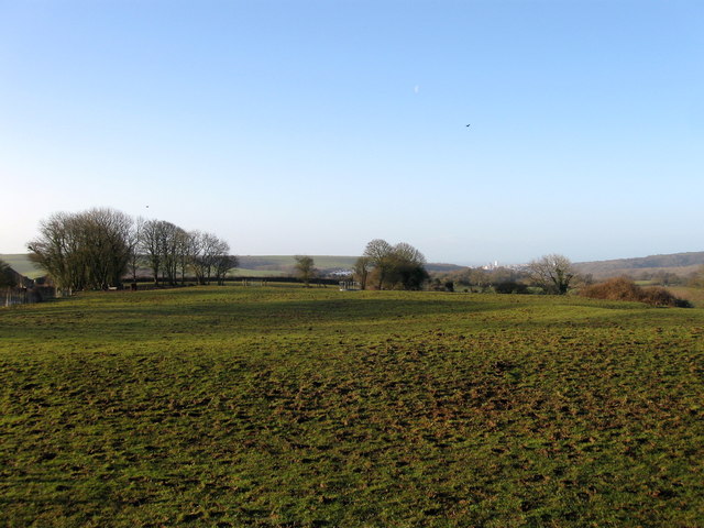
Image: © Simon Carey Taken: 22 Feb 2014
The name of the fields according to Falmer's 1840 tithe map that have been joined together to make a larger unit and lie to the immediate north of Image Balmer Green originally lay on the left hand side and to the north whereas Crooked Croft lay to the right and filled the southern part of the left hand side nearer the former hamlet. The field may be one of the sites of the old medieval village as there seems to be an awful lot of earthworks suggesting platforms for former houses in this field.
Images are licensed for reuse under creativecommons.org/licenses/by-sa/2.0
Image Location
Latitude
50.874353
Longitude
-0.070681