Water Pumping Station
Introduction
The photograph on this page of Water Pumping Station by Simon Carey as part of the Geograph project.
The Geograph project started in 2005 with the aim of publishing, organising and preserving representative images for every square kilometre of Great Britain, Ireland and the Isle of Man.

There are currently over 7.5m images from over 14,400 individuals and you can help contribute to the project by visiting https://www.geograph.org.uk
Water Pumping Station
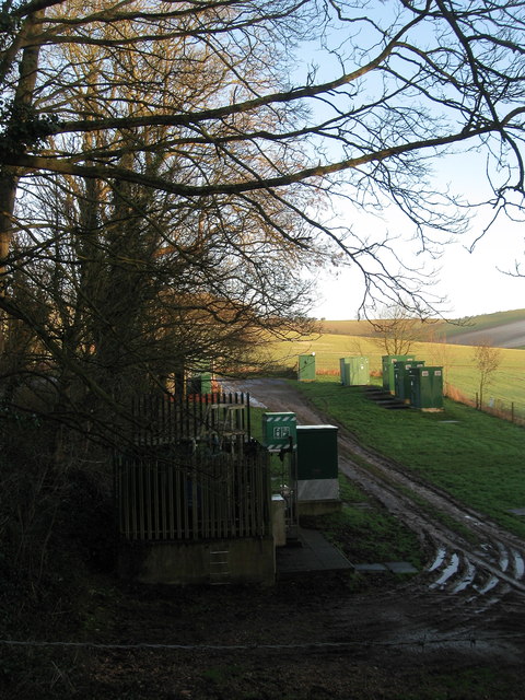
Image: © Simon Carey Taken: 22 Feb 2014
Located a little to the west of Upper Housedean Cottages and a reminder that the dry valley that the nearby A27 runs through is also occasionally home to the Winterbourne Stream, a tributary of the Ouse.
Images are licensed for reuse under creativecommons.org/licenses/by-sa/2.0
Image Location
Latitude
50.866071
Longitude
-0.06477