Longridge Road houses SW of Piers Close, Malvern
Introduction
The photograph on this page of Longridge Road houses SW of Piers Close, Malvern by Jaggery as part of the Geograph project.
The Geograph project started in 2005 with the aim of publishing, organising and preserving representative images for every square kilometre of Great Britain, Ireland and the Isle of Man.

There are currently over 7.5m images from over 14,400 individuals and you can help contribute to the project by visiting https://www.geograph.org.uk
Longridge Road houses SW of Piers Close, Malvern
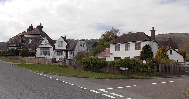
Image: © Jaggery Taken: 5 May 2013
At the western edge of Malvern Common.
Images are licensed for reuse under creativecommons.org/licenses/by-sa/2.0
Image Location
Latitude
52.09571
Longitude
-2.318759