Field boundary near Elm Farm
Introduction
The photograph on this page of Field boundary near Elm Farm by Derek Harper as part of the Geograph project.
The Geograph project started in 2005 with the aim of publishing, organising and preserving representative images for every square kilometre of Great Britain, Ireland and the Isle of Man.

There are currently over 7.5m images from over 14,400 individuals and you can help contribute to the project by visiting https://www.geograph.org.uk
Field boundary near Elm Farm
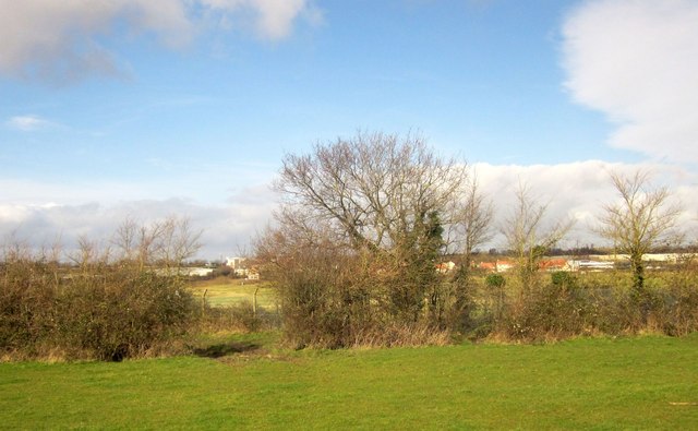
Image: © Derek Harper Taken: 22 Feb 2014
The gap left of centre seems the obvious route by which footpath OAY/89 regains its former course alongside Filton Airport, but, in common with most of the other gaps, it proved to be very wet and I wasn't wearing wellies. However, a small boy, his dog, and his father, marched through a dry gap further west which I dutifully used. Across the intervening stretch of the former Filton Airport are buildings at Cribbs Causeway and Catbrain.
Images are licensed for reuse under creativecommons.org/licenses/by-sa/2.0
Image Location


Leaflet Map data © OpenStreetMap
Latitude
51.517608
Longitude
-2.608993