View of Low Woodside from the south
Introduction
The photograph on this page of View of Low Woodside from the south by Robert Graham as part of the Geograph project.
The Geograph project started in 2005 with the aim of publishing, organising and preserving representative images for every square kilometre of Great Britain, Ireland and the Isle of Man.

There are currently over 7.5m images from over 14,400 individuals and you can help contribute to the project by visiting https://www.geograph.org.uk
View of Low Woodside from the south
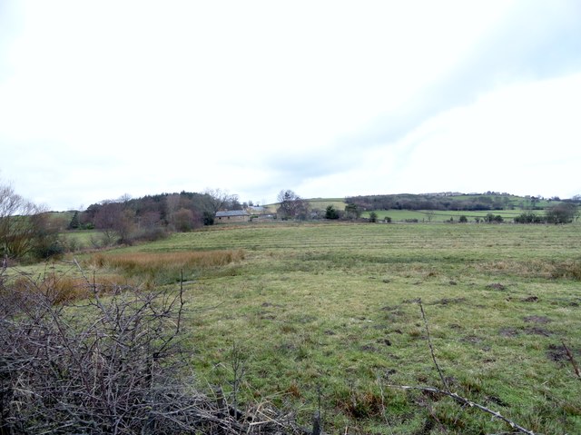
Image: © Robert Graham Taken: 19 Feb 2014
Looking across the fields from the A691 road. This view actually looks up the line of Roman Dere Street, although there is no indication on the ground.
Images are licensed for reuse under creativecommons.org/licenses/by-sa/2.0
Image Location
Latitude
54.839579
Longitude
-1.779807