Ledbury Baptist Church
Introduction
The photograph on this page of Ledbury Baptist Church by Jaggery as part of the Geograph project.
The Geograph project started in 2005 with the aim of publishing, organising and preserving representative images for every square kilometre of Great Britain, Ireland and the Isle of Man.

There are currently over 7.5m images from over 14,400 individuals and you can help contribute to the project by visiting https://www.geograph.org.uk
Ledbury Baptist Church
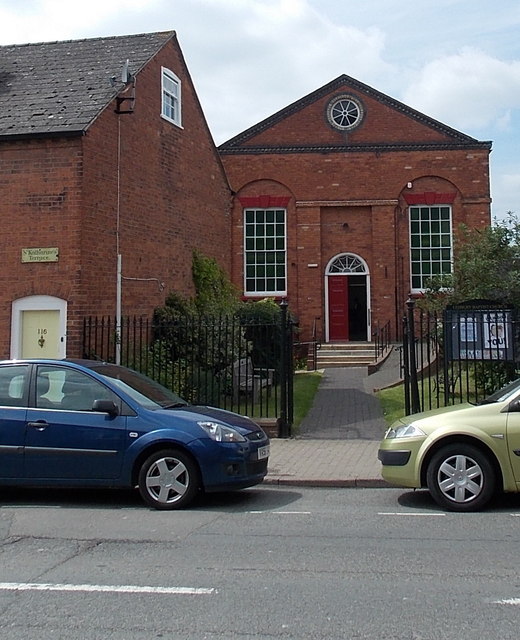
Image: © Jaggery Taken: 19 May 2013
Set back 20 metres from the west side of The Homend (the A438). The street name sign on the left shows ST KATHARINE'S TERRACE, though most online references show St Katherine's Terrace.
Images are licensed for reuse under creativecommons.org/licenses/by-sa/2.0
Image Location
Latitude
52.040261
Longitude
-2.425084