Exit to the west
Introduction
The photograph on this page of Exit to the west by John Beal as part of the Geograph project.
The Geograph project started in 2005 with the aim of publishing, organising and preserving representative images for every square kilometre of Great Britain, Ireland and the Isle of Man.

There are currently over 7.5m images from over 14,400 individuals and you can help contribute to the project by visiting https://www.geograph.org.uk
Exit to the west
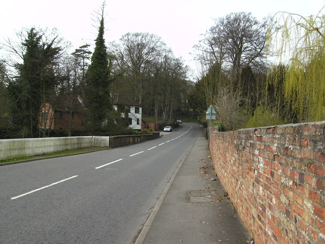
Image: © John Beal Taken: 31 Mar 2007
Louth is surrounded by hills as this road proves only too well. Just before the houses on the left can be seen the bridge over the river Ludd. Historical records show that Louth was an important centre for trade in the 1500s, and because of this it became a potential area for plague, being subjected to outbreaks four times in the 1500s and also in 1631 when the populace was almost killed off outright. Those that survived vowed to remain and Louth prospered to become the town it is today.
Images are licensed for reuse under creativecommons.org/licenses/by-sa/2.0
Image Location
Latitude
53.365063
Longitude
-0.015322