Llwybr Tynybone / Tynybone Path
Introduction
The photograph on this page of Llwybr Tynybone / Tynybone Path by Alan Richards as part of the Geograph project.
The Geograph project started in 2005 with the aim of publishing, organising and preserving representative images for every square kilometre of Great Britain, Ireland and the Isle of Man.

There are currently over 7.5m images from over 14,400 individuals and you can help contribute to the project by visiting https://www.geograph.org.uk
Llwybr Tynybone / Tynybone Path
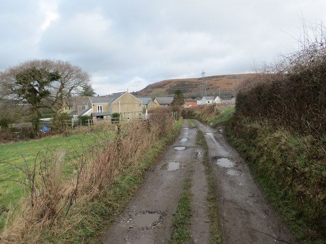
Image: © Alan Richards Taken: 24 Feb 2014
Trac a arwain heibio i Ffarm Tynybone. Ma'e ffordd hefyd yn llwybr cyhoeddus. Yn y pellter gellir gweld ucheldir a elwir Graig Fawr. Access road to Tynybone Farm (trans. farmstead of the tree stumps). The road is also a public footpath. The hill in the distance in called Graig Fawr (trans. Big rock/hill)
Images are licensed for reuse under creativecommons.org/licenses/by-sa/2.0
Image Location
Latitude
51.723905
Longitude
-4.035692