Croydon Road, Wallington
Introduction
The photograph on this page of Croydon Road, Wallington by David Howard as part of the Geograph project.
The Geograph project started in 2005 with the aim of publishing, organising and preserving representative images for every square kilometre of Great Britain, Ireland and the Isle of Man.

There are currently over 7.5m images from over 14,400 individuals and you can help contribute to the project by visiting https://www.geograph.org.uk
Croydon Road, Wallington
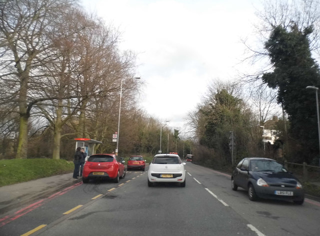
Image: © David Howard Taken: 23 Feb 2014
I noticed the two cars parked in the bus stop on double red lines (not a good idea), and when I passed them saw the one on the back had driven into the one in the front and wrecked itself completely, with medium damage to the victim's. Beddington Park is on the left.
Images are licensed for reuse under creativecommons.org/licenses/by-sa/2.0
Image Location
Latitude
51.369737
Longitude
-0.140011