Stoneymere Way, University of Sussex
Introduction
The photograph on this page of Stoneymere Way, University of Sussex by Simon Carey as part of the Geograph project.
The Geograph project started in 2005 with the aim of publishing, organising and preserving representative images for every square kilometre of Great Britain, Ireland and the Isle of Man.

There are currently over 7.5m images from over 14,400 individuals and you can help contribute to the project by visiting https://www.geograph.org.uk
Stoneymere Way, University of Sussex
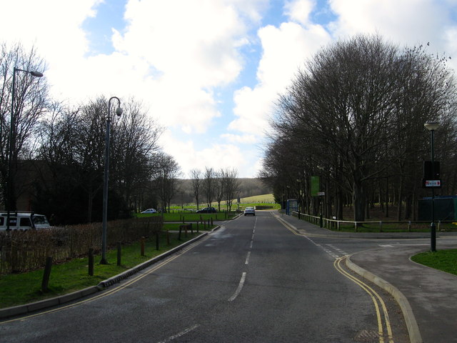
Image: © Simon Carey Taken: 16 Feb 2014
The new entrance opened about three years ago to take pressure off the main entrance next to the village, getting off the campus at the end of the working day during term time was a long and slow process. This entrance also meant the old Falmer House Road entrance on the A27, one of the original access roads, was closed up. Beyond in the distance is Stanmer Park.
Images are licensed for reuse under creativecommons.org/licenses/by-sa/2.0
Image Location
Latitude
50.863524
Longitude
-0.090313