Field above Wiscombe
Introduction
The photograph on this page of Field above Wiscombe by Derek Harper as part of the Geograph project.
The Geograph project started in 2005 with the aim of publishing, organising and preserving representative images for every square kilometre of Great Britain, Ireland and the Isle of Man.

There are currently over 7.5m images from over 14,400 individuals and you can help contribute to the project by visiting https://www.geograph.org.uk
Field above Wiscombe
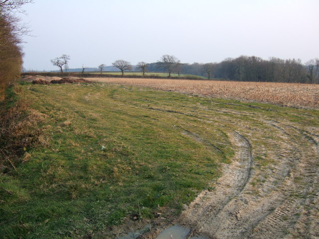
Image: © Derek Harper Taken: 2 Apr 2007
Seen from the lane which runs along this narrow stretch of plateau between the deep valleys of the Coly to the north and Wiscombe to the south. On the extreme right is Northmoor Plantation, which is on the steep northern slopes of Wiscombe.
Images are licensed for reuse under creativecommons.org/licenses/by-sa/2.0
Image Location
Latitude
50.737214
Longitude
-3.152055