Hollowell House
Introduction
The photograph on this page of Hollowell House by Ian Capper as part of the Geograph project.
The Geograph project started in 2005 with the aim of publishing, organising and preserving representative images for every square kilometre of Great Britain, Ireland and the Isle of Man.

There are currently over 7.5m images from over 14,400 individuals and you can help contribute to the project by visiting https://www.geograph.org.uk
Hollowell House
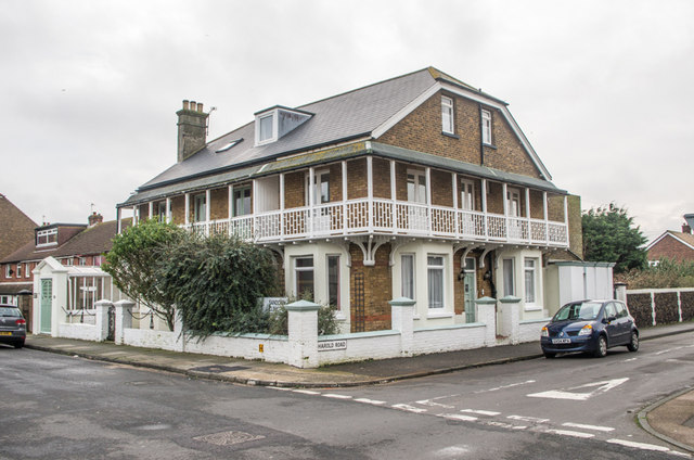
Image: © Ian Capper Taken: 25 Jan 2014
A late Victorian building on Sandown Road. It, along with nos 151 - 155 (see Image), is shown on the 1898 1:2500 map in an otherwise largely undeveloped road; it's not until the 1957 equivalent map that there is any significant development in that section of the road. On the right is Harold Road, one of a number of roads in this part of Deal named after Saxon/Viking kings. On the 1898 map it is shown as Wakeham's Road; the 1907 map shows it with its current name.
Images are licensed for reuse under creativecommons.org/licenses/by-sa/2.0
Image Location
Latitude
51.234577
Longitude
1.402792