Postbox at Hawsley
Introduction
The photograph on this page of Postbox at Hawsley by Stuart Wilding as part of the Geograph project.
The Geograph project started in 2005 with the aim of publishing, organising and preserving representative images for every square kilometre of Great Britain, Ireland and the Isle of Man.

There are currently over 7.5m images from over 14,400 individuals and you can help contribute to the project by visiting https://www.geograph.org.uk
Postbox at Hawsley
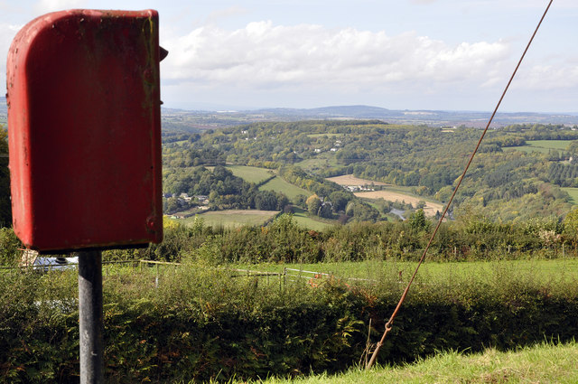
Image: © Stuart Wilding Taken: 25 Sep 2011
Not sure if this is Hawsley or Horselea? The OS and Google suggest Horselea but the road signs opt for Hawsley, so I've gone with Hawsley. In the distance can be seen the Wye Valley at Bishopswood.
Images are licensed for reuse under creativecommons.org/licenses/by-sa/2.0
Image Location
Latitude
51.844362
Longitude
-2.571153